
Own product · Internal beta
LocTer: location sources and map viewer
An internal tool that starts with coordinates, locations or references and organizes information from authorized sources.
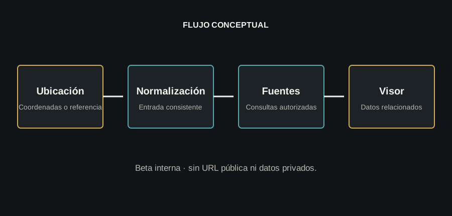
- 01Location
- 02Normalization
- 03Authorized sources
- 04Viewer
01
Problem
Checking one location across several sources means repeating searches, normalizing formats and connecting results manually.
02
Solution
LocTer receives and normalizes input, queries Cadastre, Google Maps, a map viewer and other available sources, then presents coordinates, parcel and cadastral references, property data and relevant links.
How it works
- Coordinates or reference input
- Location normalization
- Authorized source queries
- Connected results
- Map viewer
- Private identity and access
- Anonymized public material
03
Publishing the system without publishing access
The case shows the problem, flow and general architecture. It does not publish the subdomain, credentials, provider keys, sensitive queries or private data. Results are not presented as investment guarantees or advice.
- 01Location
- 02Normalization
- 03Authorized sources
- 04Viewer
04
Security and privacy
Identity and JWT protect an internal beta. Public material is limited to the anonymized architecture and flow, without exposing screens, searches or working data.
05
Confirmed stack
- Blazor WebAssembly
- PWA
- ASP.NET Core API
- Entity Framework Core
- SQL Server
- Identity
- JWT
Interface
Functional flow and public boundaries
Identity and JWT protect an internal beta. Public material is limited to the anonymized architecture and flow, without exposing screens, searches or working data.
Access remains private
Do you need to solve a similar problem?
Let's discuss the real context, data and constraints.